Predict movement
Visualize surface and subsurface transport to support time-sensitive response decisions.
Advanced Met-Ocean Data Portal supporting decision making and planning
Data management, maritime planning, water quality, operational response - regardless of your application, OceansMap makes met-ocean data easy.
Built for critical decisions
OILMAP is an oil spill model system designed for oil spill response and contingency planning.
It provides rapid predictions of the movement of spilled oil and helps responders, environmental agencies and industry professionals model, simulate and evaluate impacts in marine and coastal environments.
Visualize surface and subsurface transport to support time-sensitive response decisions.
Track weathering and hydrocarbon behavior across interconnected environmental compartments.
Explore likely paths and minimum travel times for seasonal and long-range planning.
Modeling software in context
Use the placeholders in this section for OILMAP screenshots, trajectory animations, mass balance plots and operational map views.


Designed for the response community
Rapidly examine likely movement and evolving spill conditions.
Evaluate potential environmental exposure and affected resources.
Support risk assessment, contingency planning and operational readiness.
A connected modeling workflow
Specify the spill scenario through simple graphical procedures.
Enter or connect wind and hydrodynamic data used by the model.
Model spreading, weathering, entrainment and environmental interactions.
Animate movement and examine mass balance, shoreline and GIS outputs.
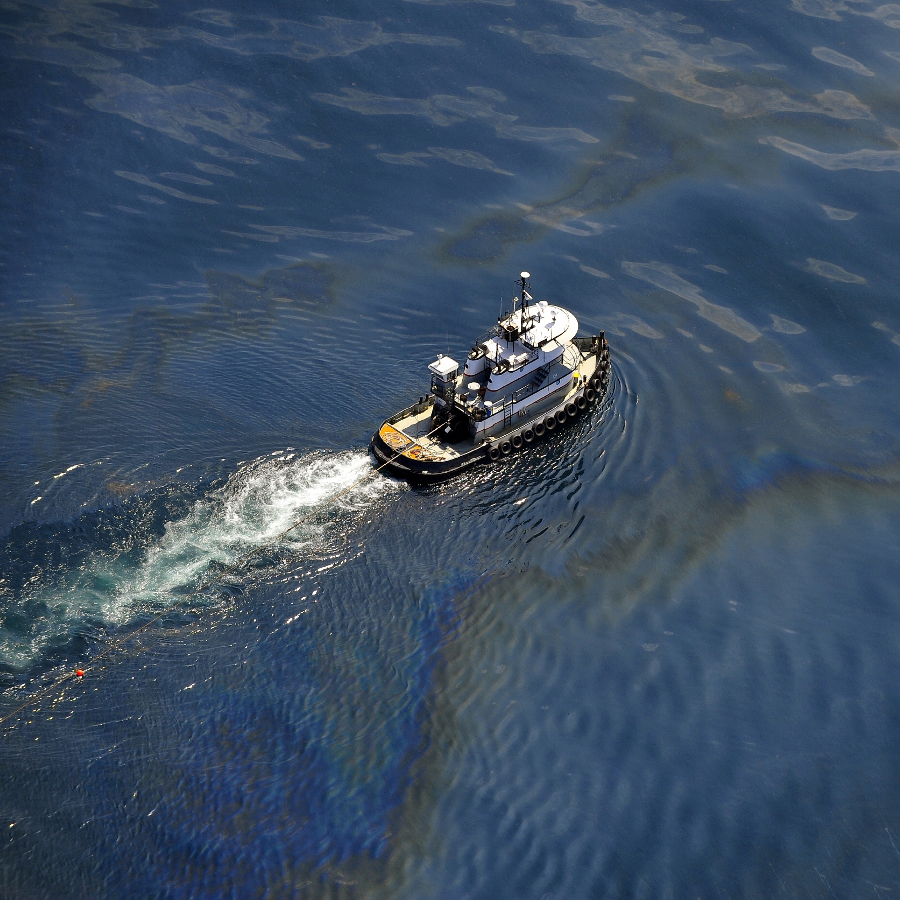
OILMAP PROJECT
A far-field model for surface and subsurface releases predicts the three-dimensional trajectory and fate of oil from instantaneous or continuous releases.
Advanced OILMAP desktop features
Includes spreading, evaporation, emulsification, entrainment, oil-reed bed and oil-ice interaction.
Animate surface and subsurface oil movement to examine potential shoreline impacts.
Review graphical and tabular weathering mass balance results and display GIS resources affected by a spill.
Software support
Registered users can access account information, application updates and software support documentation through the support portal.
Software support loginStart a conversation
Connect with the Ocean Science team to discuss OILMAP, modeling requirements, training or implementation.
