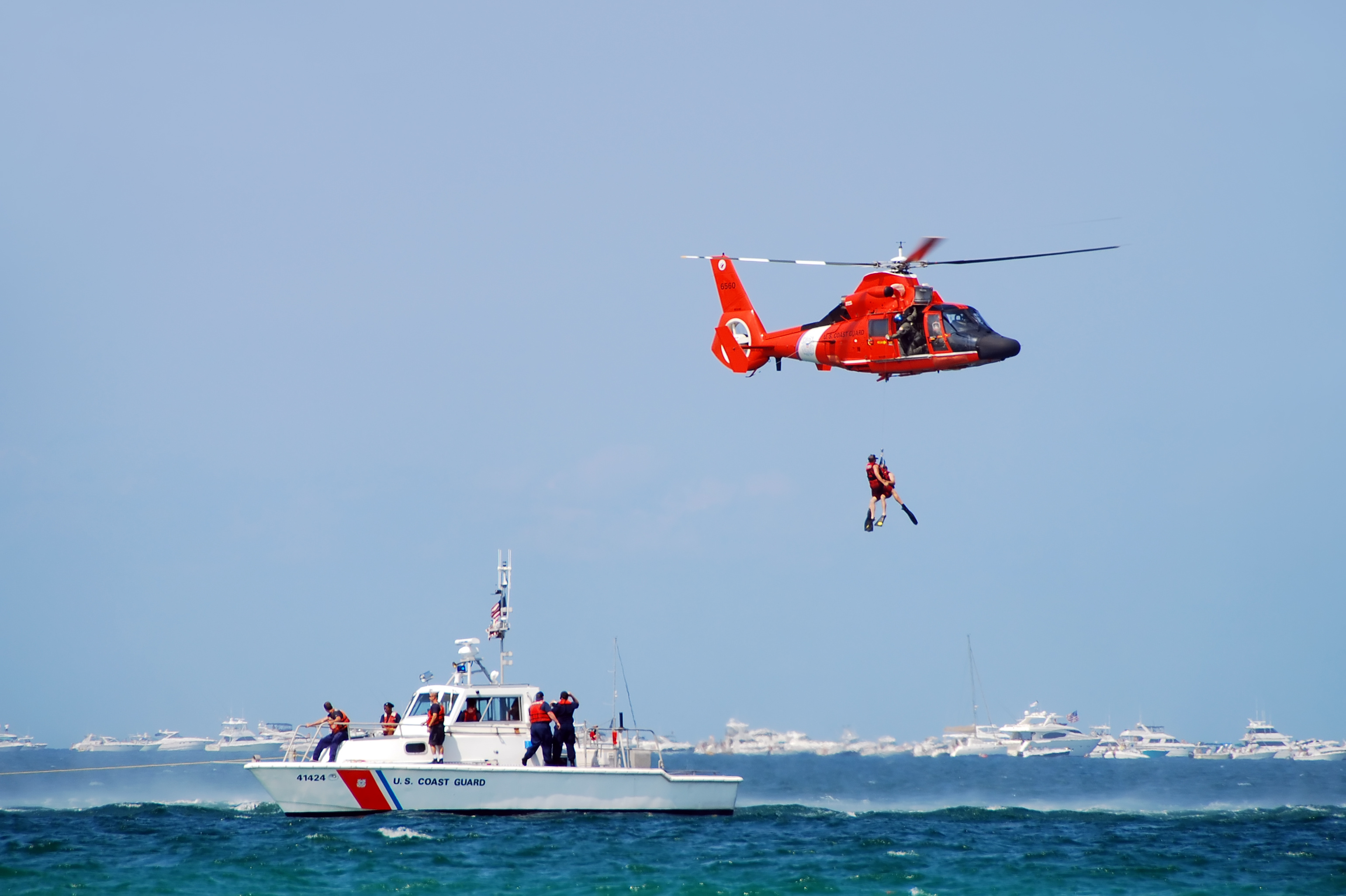
Predict drift
Model the likely movement of persons and objects using winds, currents and object-specific leeway behavior.
Search and rescue modeling
SARMAP provides rapid predictions of the drift of objects and persons at sea and during aeronautical incidents, helping response teams define the most probable search areas and use available assets more efficiently.
Built for time-sensitive operations
SARMAP is a search and rescue model system designed to predict the movement of missing persons, vessels, debris and other drifting objects.
It supports operational decision-making by helping responders prioritize search areas, assess uncertainty and allocate search assets more efficiently during active incidents.
Model the likely movement of persons and objects using winds, currents and object-specific leeway behavior.
Visualize most-probable regions and evolving uncertainty to support operational search planning.
Run seasonal and site-specific scenarios for contingency planning, training and realistic exercises.
Operational software in context
Use the placeholders in this section for SARMAP screenshots showing probability maps, object trajectories, ensemble spread, search polygons and track histories.


Core modeling capabilities

Deterministic forecasting
Rapid, map-based trajectory predictions combine environmental fields with object-specific leeway characteristics to estimate drift and support immediate search planning.
Ensemble forecasting
Ensemble and stochastic forecasts generate multiple realizations to quantify uncertainty, reveal spread and identify the most probable regions for search operations.
A rapid operational workflow
Select the person, vessel, life raft, debris or other object being modeled.
Create a scenario from a point, along a track or across an area with time controls.
Use winds, waves and currents from operational, real-time or historical datasets.
Examine probability maps, trajectory ensembles, travel times and shoreline interactions.
SARMAP features
Use wind, current and leeway characteristics to model persons in the water, vessels, life rafts, cargo and aircraft debris.
Forecast where a target may travel or backtrack debris and persons to estimate possible origin points.
Configure releases at points, along tracks or across areas with time-varying start, stop and persistence controls.
Review most-probable search regions, time of arrival, track histories, probability maps and tabular summaries.
Typical applications
Support man-overboard events and searches for missing persons in marine environments.
Model adrift vessels, life rafts, small craft, floating cargo and lost containers.
Estimate aircraft debris drift during combined marine and aeronautical search operations.
Data-ready for operations
SARMAP consumes metocean data streams from operational forecast systems and supports real-time and historical datasets.
Flexible import of gridded fields and time series supports hindcasts, nowcasts and forecasts while allowing integration with broader emergency response workflows and mapping platforms.
Use winds, waves and currents from forecast systems and live data services.
Run hindcasts and training scenarios with archived environmental datasets.
Connect model results with broader mapping, reporting and emergency response systems.
Operational outputs
Display time-evolving probability fields and most-probable search regions.
Compare individual tracks, ensemble realizations and spread metrics.
Review track histories, travel-time estimates and shoreline interaction flags.
Create images and tabular summaries for mission briefings, documentation and reports.
Software support
Registered users can access account information, application updates and software support documentation through the support portal.
Software support loginStart a conversation
Connect with the Ocean Science team to discuss SARMAP, operational requirements, training, data integration or implementation.